
Travel & accommodation
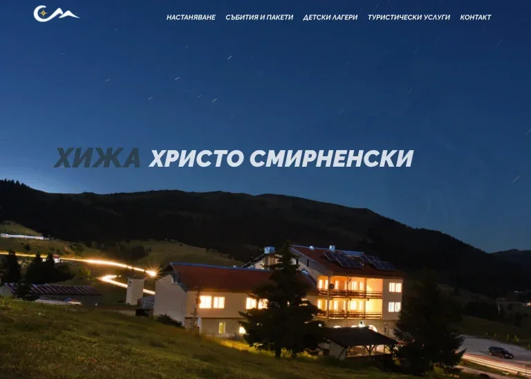
Hristo Smirnenski Hut
A mountain hut website connecting rooms, seasonal activities, events and directions with a clear path to a booking inquiry.
Brief, approach and evidence
Hiking & cycling
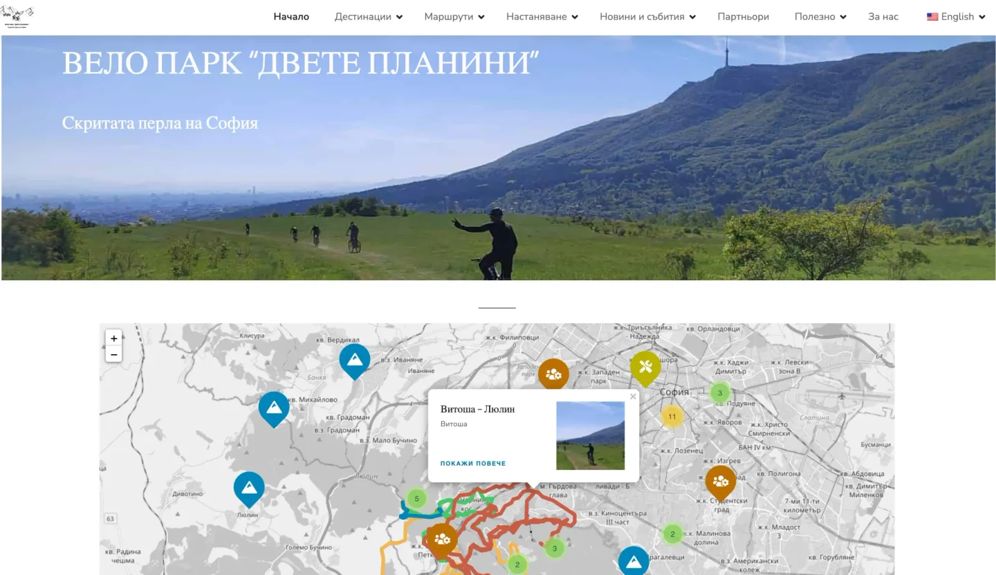
How we organised walking and cycling routes, places of interest and GPS tracks using an interactive map, filters and connected descriptions.
CLIENT & CONTEXT
DvePlanini brings together routes, places and sports communities. The brief was a complete web platform where visitors can explore trip options through a map and the details of a selected route.
A route, a place of interest and a sports club are different kinds of information. The shared map needs to connect them, while filters let visitors decide what they want to explore.
APPROACH & DELIVERY
We clarified the goals and visitor needs with the owners. Navigation was planned around routes, places of interest, sports clubs and tracks, with a distinct role for each category.
We integrated an interactive map with filters for route type, club, place and track. Colour coding helps distinguish routes alongside filters and written descriptions.
Routes were given photos, descriptions and GPS tracks that visitors can view or download. Responsive design makes the information accessible on mobile devices as well.
The documented follow-up work includes new routes and improvements to map presentation and navigation filters based on visitor feedback.
HOW THE INFORMATION CONNECTS
A walking or cycling route, a place or a club.
Use filters and distinguish individual routes.
Review the route description and photos.
View or download the track for the next step.
RESULT & PRACTICAL VALUE
The platform connects spatial orientation with detailed route information. Visitors can move from the overall map to a description, photos and a GPS track instead of searching for those materials across unrelated sources.
Travel & accommodation
A mountain hut website connecting rooms, seasonal activities, events and directions with a clear path to a booking inquiry.
Brief, approach and evidence
Sports event · community and a cause
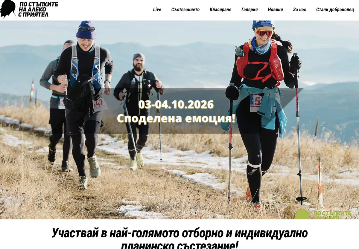
A website, marketing strategy, advertising and communication with participants, partners and media for a mountain event built around sport, friendship and a shared cause.
Brief, approach and evidence
After receiving an enquiry, we discuss the context and whether we can help. Scope, price and timing are agreed before work begins.
contact@webseovision.com+359 899 797 216Email your website address and a short outline of the situation:
contact@webseovision.com
Call: +359 899 797 216Send an inquiry